
Anyone who says they like portaging is either a liar or crazy
Bill Mason
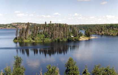
This page provides an interactive map and some interesting botanical side notes about the trip to Mantario and the day hike that is often taken. The day hike is usually done on the Wednesday of the summer program and follows part of the Mantario trail. The information provided here is supporting material for the 'Botanical' week run as part of the Mantario summer program. More complete information about the summer program and the trip to Mantario should be obtained from Nature Manitoba.
After several years of decay and dis-repair the boardwalk on the Crowduck side of the portage was removed early in the summer of 2004 and had not been replaced by 2010 (I now think this might never happen). This made the original path almost impassable. Typical of many wet portages, and the people that use them, the trail was made wider by every passage because the users did not want to get their feet wet or muddy. In 2005 multiple new trails were cut out of the bush, each of these becoming muddy and treacherous very quickly. Unfortunately this has caused a significant amount of damage to this beautiful moist/wet forest. Many logs have been dropped erratically along this trail apparently to walk on but I find them more likely to be ankle breakers than helpful.
In 2010, after several years of the primary portage getting worse, a new canoe (and Kayak?) only route was made that is dryer, and not as steep (at the start) or as high - but it is longer. There is still some poison ivy on the Big Whiteshell end of the portage so don't stray too far.
To provide an idea of the portage I made a video in 2016.
This video provides an idea of the portage condition into Ritchie Lake (2016).
This portage for many years was very deep sticky mud but over the
last couple of years the cut made by the portage has drained the water
from the start of the portage so it is much drier (usually).
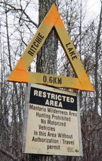
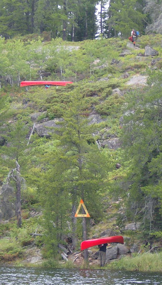
There is an alternative, but longer, portage from Big Whiteshell into Ritchie Lake. Unfortunately the Big Whiteshell side of this portage is often ankle deep in water, humus, and mud. If possible remember to keep to the trail!
In 2016 I made this video to provide an idea of the portage conditions.
The next portage, after lunch, into One Lake is the shortest of the whole lot.
I didn't video this portage in 2016 so I returned in 2017 to complete the
set. There is no running commentary this time, but you should have
an idea of the nature of the portage. Unfortunately the camera doesn't do the climb (up
or down) justice.
 Look at the changes in the shrubs and trees where the
portage has been in the past. Over the summers of 2005/6 beavers had
enlarged a dam at the Mantario end of the portage making even the high
trails wet. There was actually benefit to this 'beaver work' since
the winter trail could be paddled.
Look at the changes in the shrubs and trees where the
portage has been in the past. Over the summers of 2005/6 beavers had
enlarged a dam at the Mantario end of the portage making even the high
trails wet. There was actually benefit to this 'beaver work' since
the winter trail could be paddled.
I took this video in 2016 to provide an idea of the portage - but you
really can't count on what you are going to find. Every year it is
a new adventure. In 2017 the water level was too low to paddle, but it was
still very muddy - the high path was in use.
I made another video in 2021 because the beaver pond had pretty much dried up.
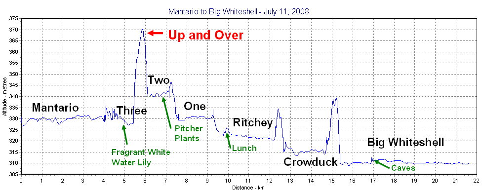
This figure is based on the Active Track of a
Garmin GPS60, 2008.
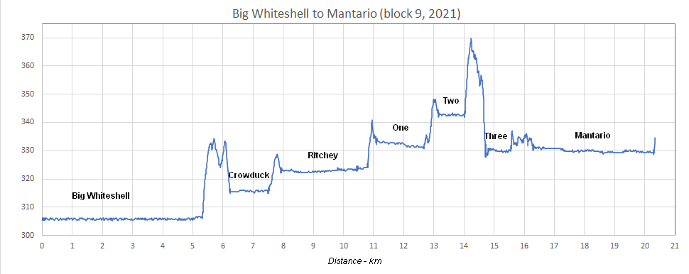
This figure is based on the Active Track of a Garmin Dakota 20, 2021 using the barometric altimeter
There are errors and variation associated with
elevations due to the inherent limitations of a GPSr to determine
altitude (see:
http://gpsinformation.net/main/altitude.htm).
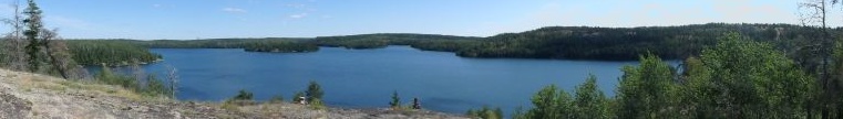
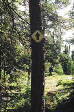
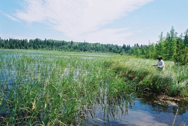
The full length of the day hike is over just over 10km. Since I very rarely hike the whole circuit I have only listed items normally seen (by me). The map above shows the day hike with a purple line with a red line where at the cut off between Spider and Moosehead.
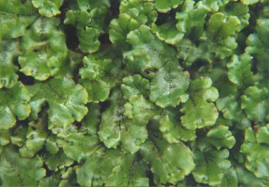
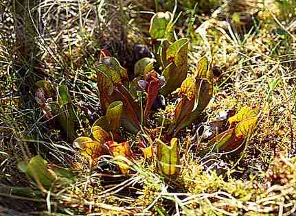
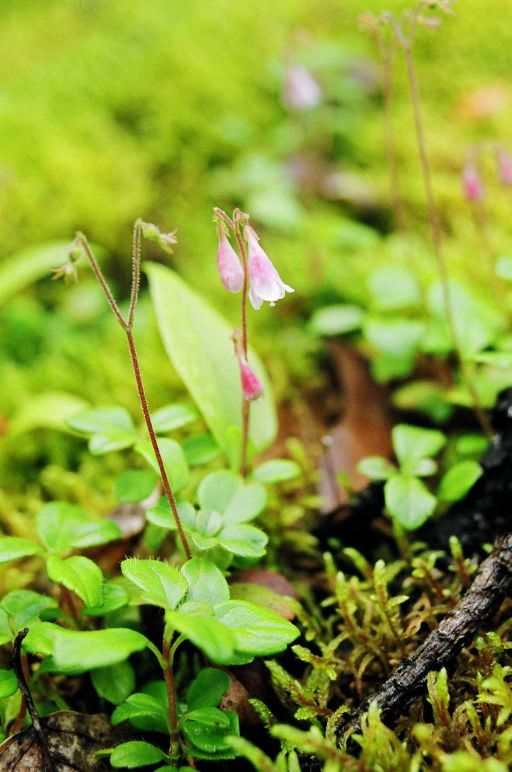
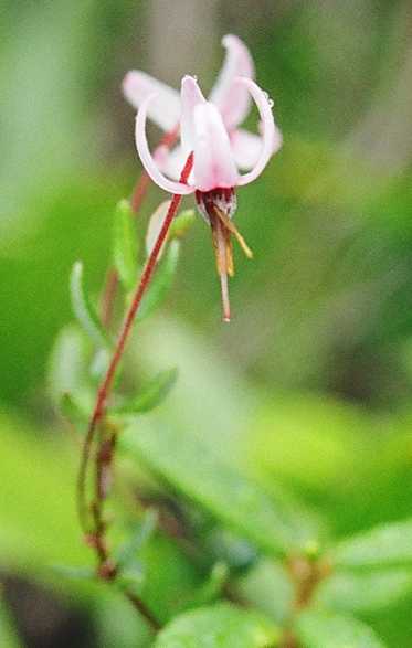 On Hop
Lake, in the bog to the right of the portage from Mantario, you will
find bog cranberry and Labrador tea. While you are at it look for Kalanski's old cabin (NAD 83, 15U 343405
5541258, N50°00'10.97" W095°11'06.96") and see how nature
reclaims what we leave behind. On your way back take a quick look at
the plants and micro-habitats around the
waterfall near the portage.
On Hop
Lake, in the bog to the right of the portage from Mantario, you will
find bog cranberry and Labrador tea. While you are at it look for Kalanski's old cabin (NAD 83, 15U 343405
5541258, N50°00'10.97" W095°11'06.96") and see how nature
reclaims what we leave behind. On your way back take a quick look at
the plants and micro-habitats around the
waterfall near the portage.
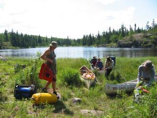
Heather Cullen sent me the following top 10 list of things I did that made a HUGE difference to her on the 2005 trip. I have copied them out here because they reflect some of the things that happened on the trip and the atmosphere of the Mantario experience.
|
Back to Botanical Week (Mantario Plan) Back to Home Page
If you have any questions or comments please send me email: burc...@cc.umanitoba.ca |
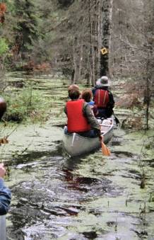
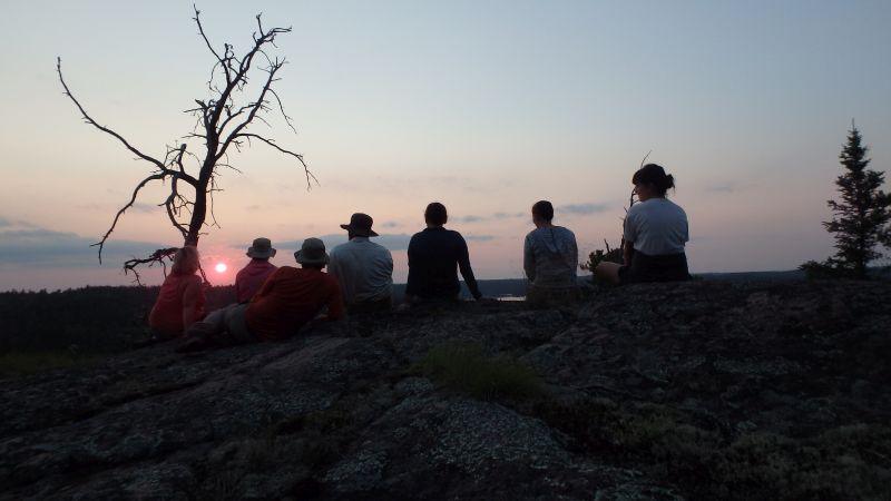
Photo Credit: Mikaila Hardy, 2005 |